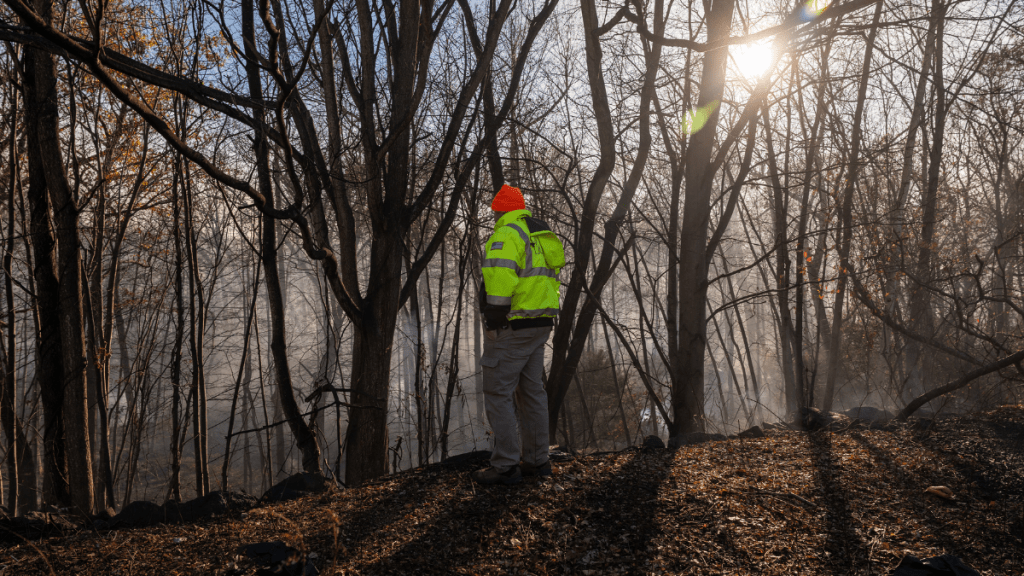
An update shows that the Jennings Creek wildfire has burned 5,000 acres of land on the New Jersey and New York border amid drought conditions. CBS News reported that officials have confirmed they have contained 20% of the flames spread across thousands of acres of land in NJ and NY. Other sources state that the National Interagency Fire Center is coordinating with NASA to dispense real-time maps of the New Jersey/New York wildfire.
Additionally, the New Jersey Forest Fire Service is posting constant wildfire updates on its official X (formerly Twitter). One of their latest posts confirmed that the Jennings Creek fire has affected areas in West Milford in New Jersey’s Passaic County. Other sources confirmed that these flames have also spread across the Orange County region in New York. Moreover, the NJDEP is working with the NY Department of Environmental Conservation Division of Forest Protection and Fire Management to contain the flames.
New Jersey wildfire threats remain despite containment efforts
According to Fox 5, a Jennings Creek wildfire map shows the deadly flames near the New Jersey and New York border. The map shows thousands of acres in the West Milford area of New Jersey and the adjoining Greenwood Lakes in New York ablaze. Authorities confirmed that drought near the NJ and NY border region fuelled the fire, destroying vast lands and causing the death of a teen firefighter who had joined the efforts to contain the flame.
Dariel Vasquez, an 18-year-old volunteer firefighter working with the Wildland Fire Crew died on Saturday after a tree fell on him. Vasquez was assisting in containing the blazing wildfire on the New Jersey and New York border. Reportedly, the New York State Police are currently looking into his tragic demise. The raging flames also resulted in the hospitalization of a second firefighter due to heavy smoke inhalation.
In another update, the New Jersey forest fire officials contained 75% of the wildfire over 175 acres in a highly populated neighborhood. The flames threatened at least 55 homes in the Pompton Lakes area of Passaic County. Nevertheless, authorities hadn’t ordered any evacuation in the area. More good news came Monday morning with a little rainfall that helped firefighters in their efforts.
Officials have also ordered an evacuation in high-risk areas and urged residents to brace themselves for the worst as the wildfire continues to spread between New Jersey and New York.


